Your Cart is Empty

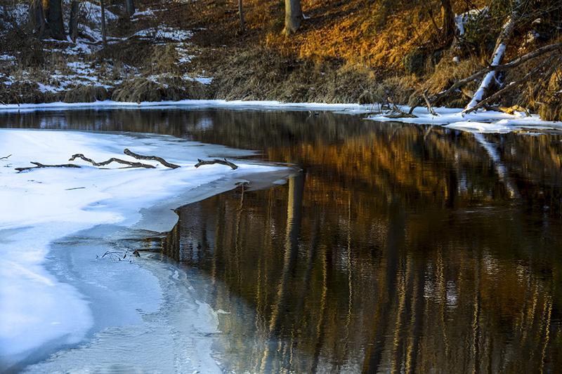
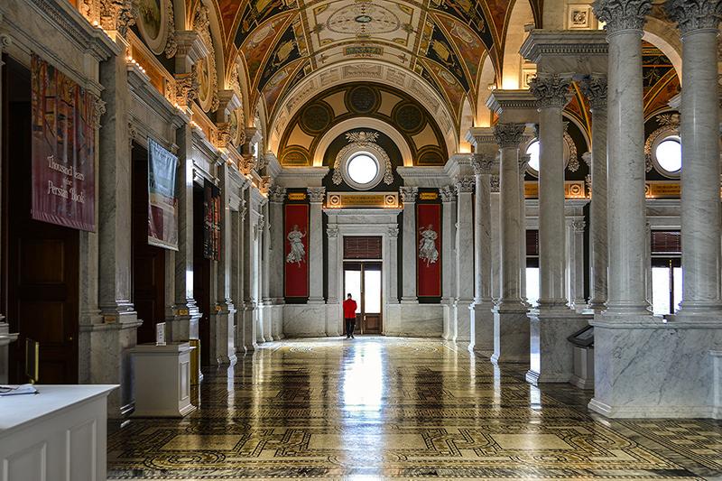
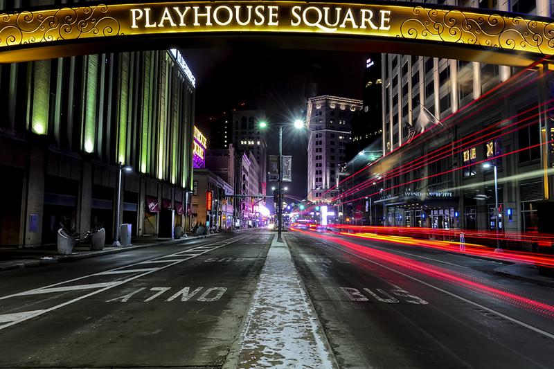
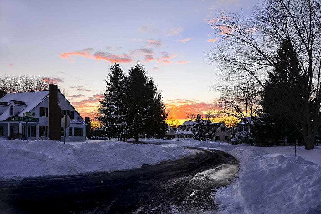
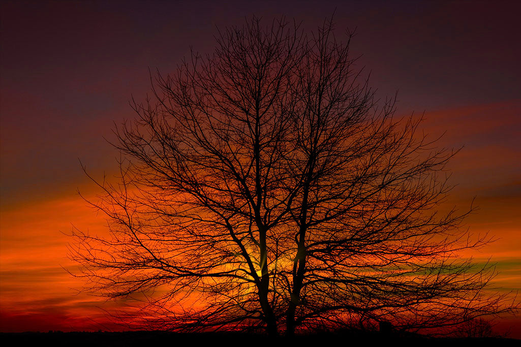
I create fine artwork from Landscapes, Seascapes and Architectural photographs and although I photograph other subjects as well, I find a certain artistic quality that I prefer within these subjects.

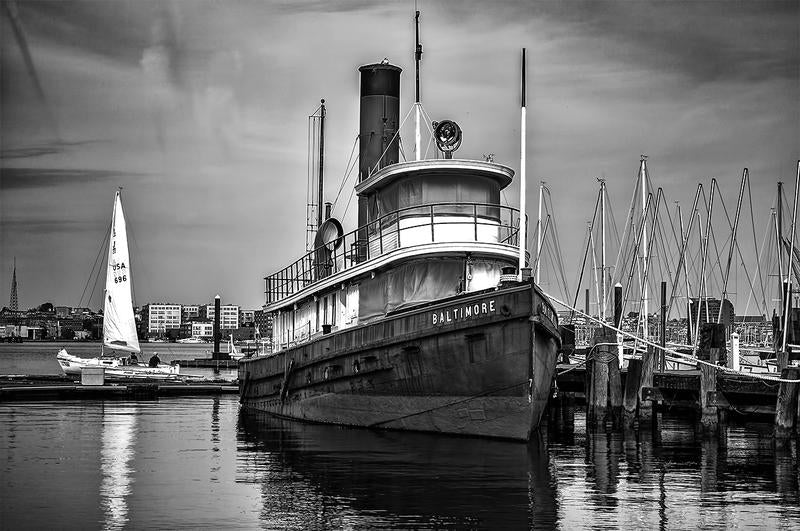
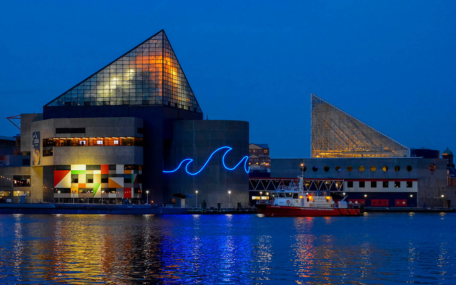
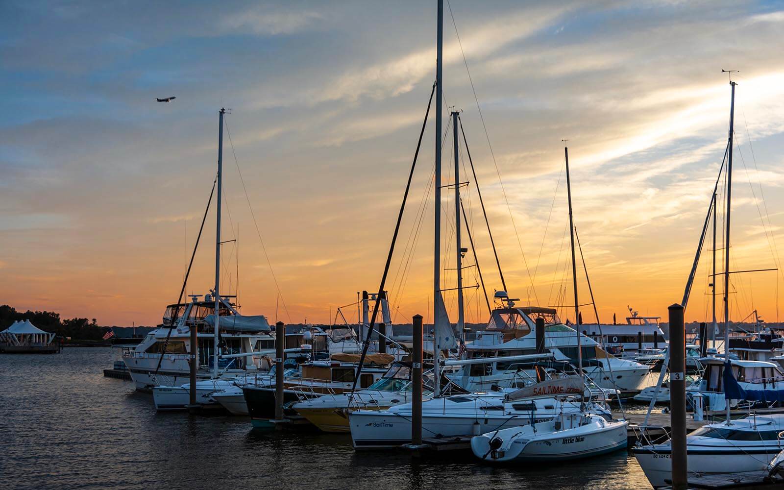
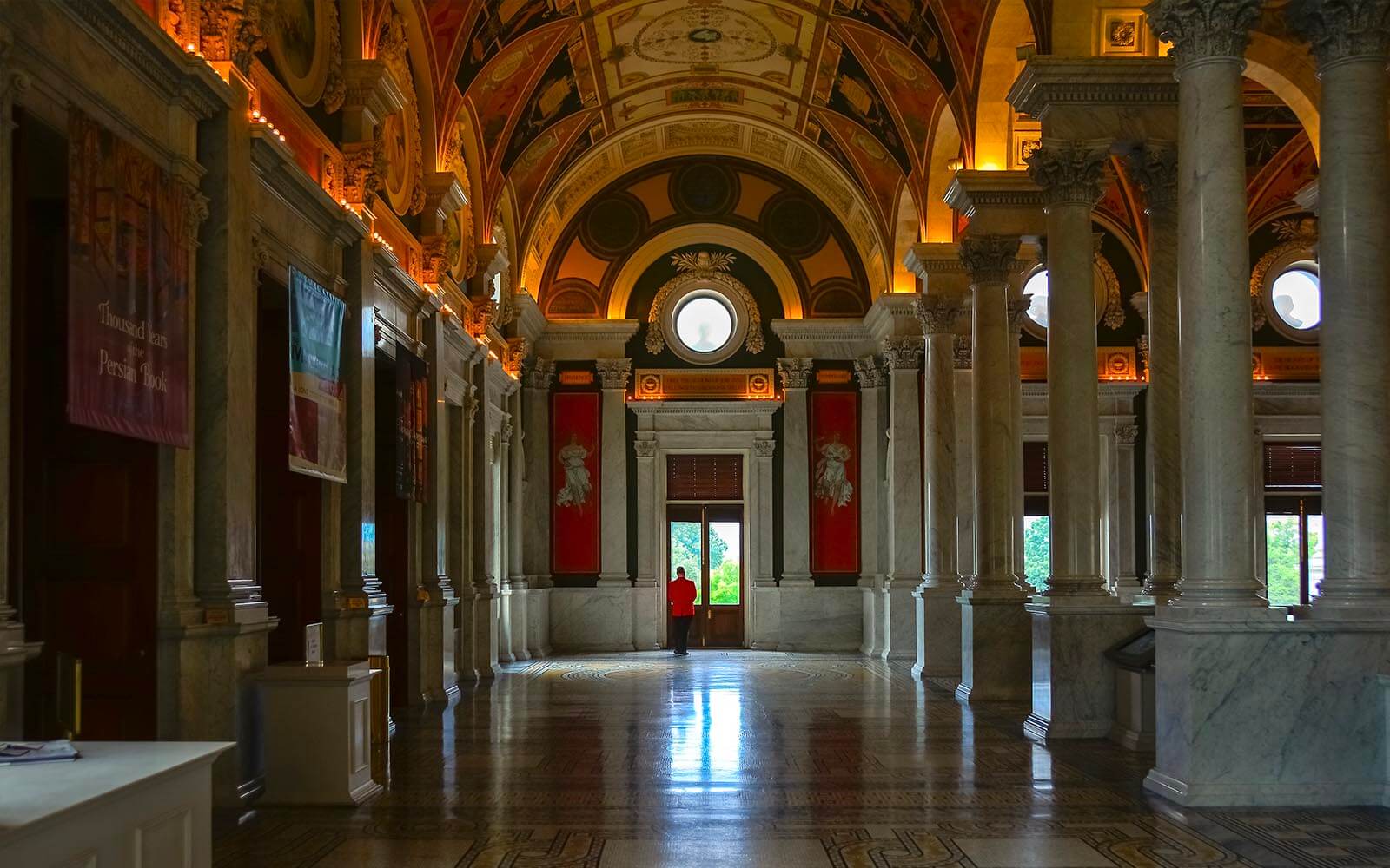
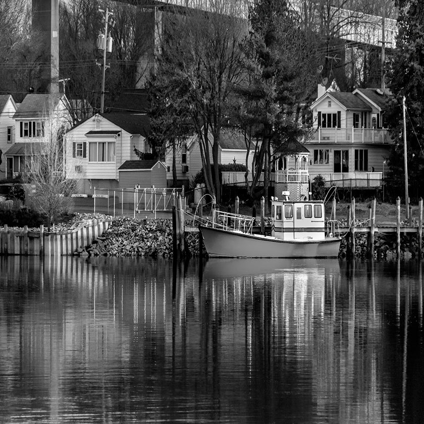
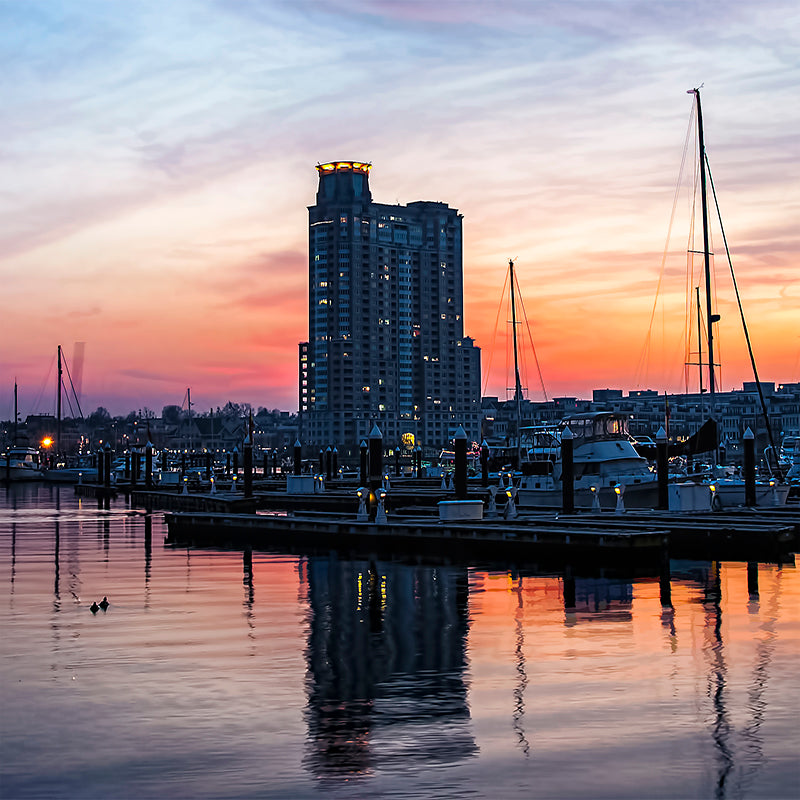
Photographically, I cover the Mid-Atlantic Region, often traveling to Pennsylvania, Delaware, Washington DC, Virginia and points beyond. This region provides a wide range of opportunities to create fine art imagery, particularly along the shorelines of the Chesapeake Bay and it's many tributaries.